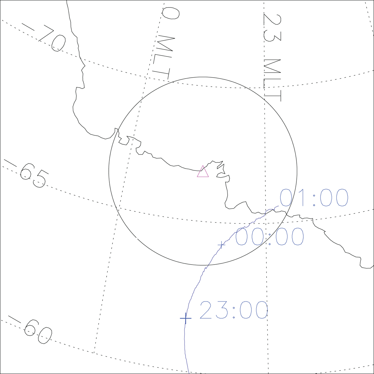
Figure C1

Download original image
Footprints of the Arase satellite during EEP event #2 on May 25–26, 2017, in the AACGM coordinate. The mapped altitude is 100 km. The magnetic local times are calculated at 2307 UT on May 25. The footprints of the Arase satellite were traced using the T96 model. The black circle indicates the all-sky field of view at Syowa Station, assuming a 10° elevation angle and an emission altitude of 110 km.
Current usage metrics show cumulative count of Article Views (full-text article views including HTML views, PDF and ePub downloads, according to the available data) and Abstracts Views on Vision4Press platform.
Data correspond to usage on the plateform after 2015. The current usage metrics is available 48-96 hours after online publication and is updated daily on week days.
Initial download of the metrics may take a while.


